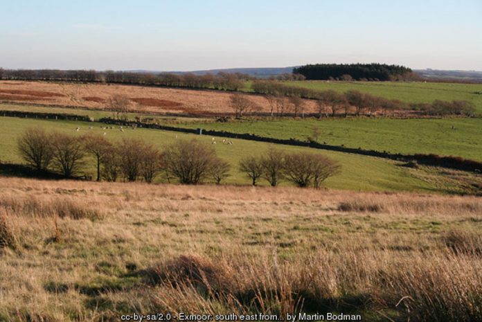
However, the best way of seeing these marks in a landscape is to go aloft in an aeroplane – which, thankfully for archaeologists, people have been doing for over 70 years. Now the results of a survey of more than 10,000 aerial photographs of Exmoor have provided experts with over 2,000 previously unrecognised archaeological sites, plus new information on another 800 known monuments.
And the curious, sometimes mysterious, markings of this one Westcountry wilderness have now been detailed in a fascinating new book produced by English Heritage in conjunction with the Exmoor National Park Authority (ENPA).
The Archaeology of Hill Farming on Exmoor tells, for the first time, the story of agriculture on the moors. It is the result of two years of systematic survey work carried out by authors Cain Hegarty and Rob Wilson-North, who is the ENPA’s archaeologist. The book is rich in aerial photographs, reconstructions, detailed maps and plans which chart the story of hill-farming since the medieval period using archaeological evidence – and is divided into three sections: the Royal Forest, the commons and the farmlands of the surrounding parishes.


