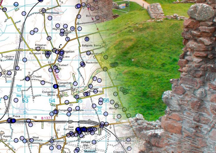
Scotland has a wide range of architectural, archaeological, industrial, maritime sites and other protected heritage. Thanks to OS mapping provided under the One Scotland Mapping Agreement (OSMA), key datasets about the historic environment can now be accessed quickly and easily through the PastMap website.
The One Scotland Mapping Agreement provides the background mapping and underpins the principles of data sharing that enable PastMap to lead the way in presenting information about the historic environment in Scotland.
Peter McKeague, RCAHMS
The challenges
Collating a wealth of information about Scotland’s historic environment. Making the information held by public agencies easily and quickly accessible. Promoting the value and enjoyment of the environment through better-informed public-focussed services. Managing the inputs of several organisations efficiently and cost effectively.
The answer
PastMap has been developed in collaboration with partners across the historic environment sector. Maintained at RCAHMS and co-funded by Historic Scotland, it’s a web portal and interactive map using OSMA data sets to provide an initial one-stop tool for anyone interested in Scotland’s historic environment. This single platform delivers spatial data sets from many relevant sources and provides a home for key historic environment data.
The results
- Simple interface allows viewers to see data from the partners on user-friendly, scalable maps.
- Promotes Scotland’s rich heritage, while saving time spent responding to basic enquiries.
- Helps historic environment agencies deliver on Scotland’s national outcomes.
- OSMA allows sharing of OS mapping and wide-ranging historic environment data without further licensing.
Case
The products used
- 1:50 000 Scale Colour Raster
- 1:250 000 Scale Colour Raster
- MiniScale
- OS VectorMap District
- OS VectorMap Local

