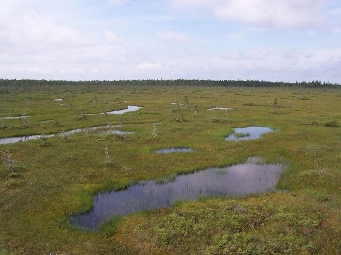
This particular project within that wider Activity looked at identifying and assessing dispersed small wetland features: for example small marshes, palaeochannels, cut off rivers or meanders, rather than the more obvious large wetland landscapes.
Such dispersed small features have much potential for palaeoenvironmental evidence, but have been vulnerable to development and less visible to the planning process than the larger more prominent wetland landscapes.
In this project, English Heritage commissioned Worcestershire County Council to develop a “toolkit” for rapid mapping and assessment of such small wetland features within an HER, so that information about them is more readily accessible, ensuring that such significant deposits are better identified, better recognised, and thus more effectively protected in the future. The methodology involves both mapping and rapid desk-based assessment of the wetland sites, tested by the validation or ground-truthing of a selection of these assets.
The report notes the potential for academic researchers to target paleoenvironmental sampling to mapped areas if the toolkit were to be widely adopted.
You can download the toolkit report here: http://www.english-heritage.org.uk/publications/toolkit-rapid-assessment-small-wetland-sites/.
Although the toolkit was piloted in one specific county and HER the methodology aims to be applicable more widely. You can also find more information on other aspects of wetland/waterlogged archaeology research here http://www.english-heritage.org.uk/professional/protection/national-heritage-protection-plan/activities/3a5.

 Tourbière 03 - Parc de Frontenac - Juillet 2008