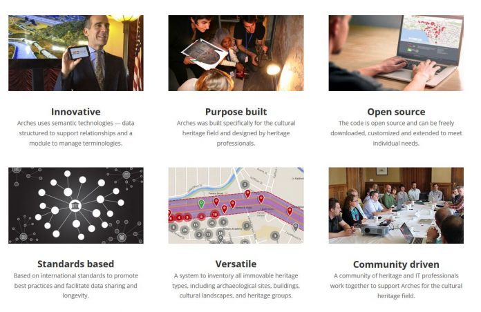
Arches is an open-source, geospatially-enabled software platform for cultural heritage inventory and management, developed jointly by the Getty Conservation Institute and World Monuments Fund. The system is freely available for organizations worldwide to download, install, and configure in accordance with their individual needs and without restrictions.
Now if you want to experience how the Arches platform works before going through the installation and setup process? Take Arches v3.0 for a test drive by visiting the newly launched demonstration site.
Unregistered users can search the data and explore the map, while registered users (click here to get a username and password) have the opportunity to add and edit data in the Resource Manager and manage vocabularies in the Reference Data Manager.
The data in this demonstration version of Arches has been assembled from various sources, in particular:
Los Angeles Historic Resources Inventory
The demo version of Arches contains a small subset of the current dataset from HistoricPlacesLA.org, which was the first large-scale implementation of the Arches platform and is devoted to the built cultural heritage of the City of Los Angeles.
Valley of the Queens
The Valley of the Queens data contained in the demo version of Arches represents only a small portion of the information collected as part of the Getty Conservation Institute’s conservation and management project in Egypt. It is included here to provide an example of how such archaeological data might be managed within Arches.
Please note, this demonstration version of Arches will be refreshed on a regular basis and all data added to the system will be overwritten during that process with no possibility of retrieval. Also, please be aware that any information entered by you will be viewable and editable by all users of the demo version.
A user guide for the demo site will be coming soon, but until then, try it out and let them know what you think!

