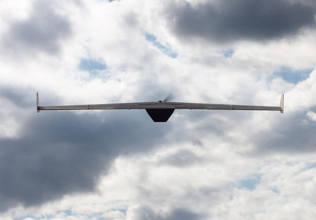
Wessex Archaeology and Callen-Lenz have signed a Memorandum of Understanding (MOU) to bring together advanced remote sensing techniques using Unmanned Aerial Systems (UAS) with proven archaeological techniques to deliver cost-effective wide area surveys to developers, consultants and planners.
Combining internationally recognised archaeological experience with leading remote sensing capabilities the two companies are delivering integrated survey services for the archaeological sector. Having worked together since 2012, the companies recognised the significant benefits that customers can gain from the ability to undertake cost-effective wide area survey using UAS, targeting ground survey to specific areas of interest. The ability to produce high resolution imagery, create 3D surface models and combine this with archaeological expertise allows the team to survey, detect and record key archaeological features in a rapid and efficient manner.
Chris Brayne, CEO of Wessex Archaeology said “Unquantified risks are the most serious threat to any project. These new prospection techniques are applicable to a wide range of situations and are increasingly affordable. We believe that there are significant efficiencies to be gained for large-scale infrastructure projects, speeding up both the planning and implementation phases. Better information at an earlier stage means more scope to avoid problems and ultimately a lower overall cost.“
“We are delighted to be working with Wessex Archaeology in this exciting new area. The use of UAS based remote sensing to deliver high resolution datasets in both colour and Near Infra-Red imagery enables us to undertake wide-scale landscape surveys, uncovering archaeological features which would remain hidden using other techniques” said Jonathan Webber, MD of Callen-Lenz.
For Archaeology News – Archaeology Research – Archaeology Press Releases

